The first destination for our July 2010 Trail Riding Trip to the Flat Tops Wilderness area of Colorado was Sweetwater Lake, which lies near the southern border of the wilderness.
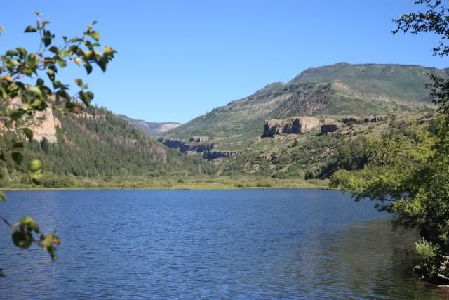
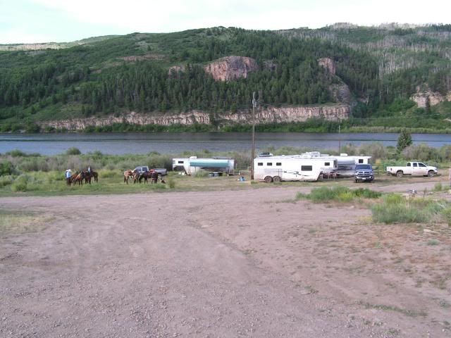
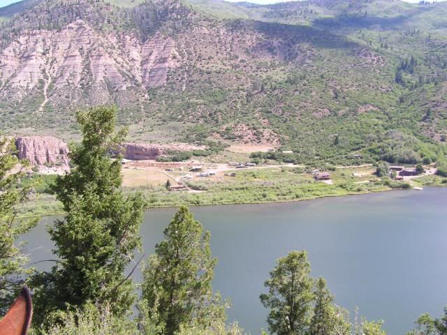
We camped on the grounds of Sweetwater Lake Resort
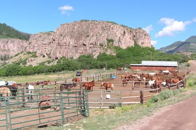
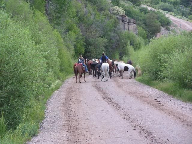
AJ Brink Outfitters keeps 54 horses here.
Every evening they move the horses down the road and into a pasture to graze.
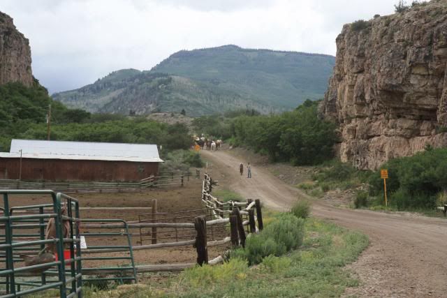
Then the next morning they herd them back up the road and into the pens for the day.
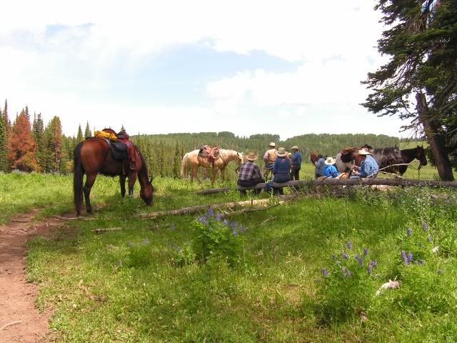
View of camp from the trail
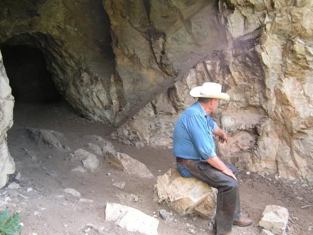
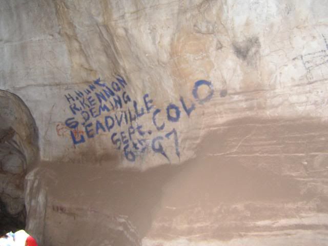
We took a short ride on the first day, to allow the horses to adjust to the higher elevation. We took them from an elevation of just over 1000 ft in MO and temps on the 90's, to an elevation in camp of 7,700 ft with trails climbing to near 10,000 ft with temps in the 40's at night and 70's during the day. We rode to Indian Cave and viewed ancient petroglyphs.
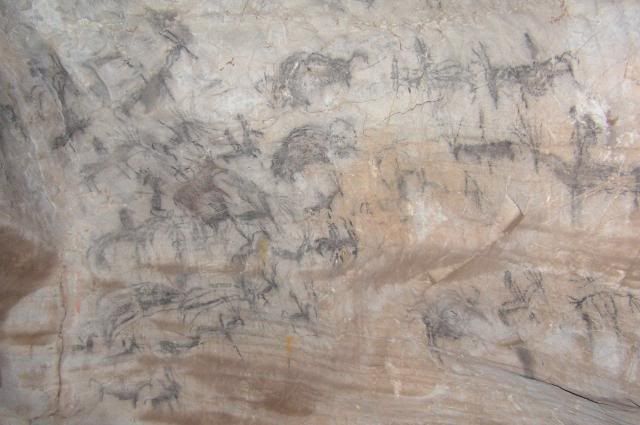
It was sad to also see some modern graffiti on the walls of this cave.
Trail pictures taken during our week long stay at Sweetwater. Coming from Missouri, it is hard to believe that we need to wear long sleeve shirts and sweatshirts in July. Loved it!
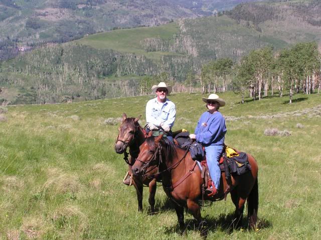
Letting the horses breath after a long climb
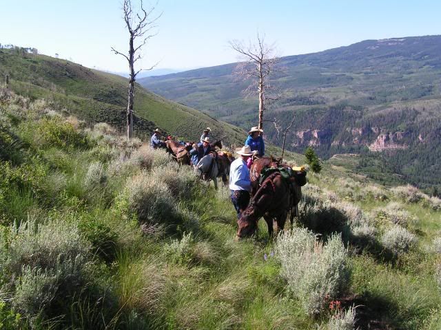
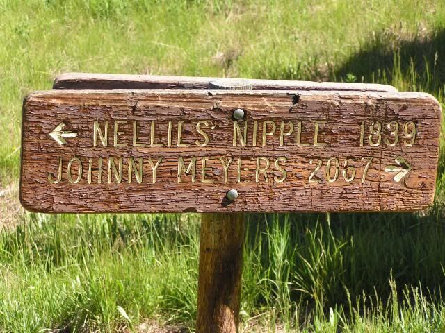
No explanation needed...........
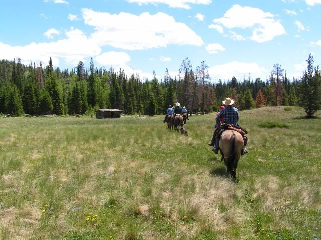
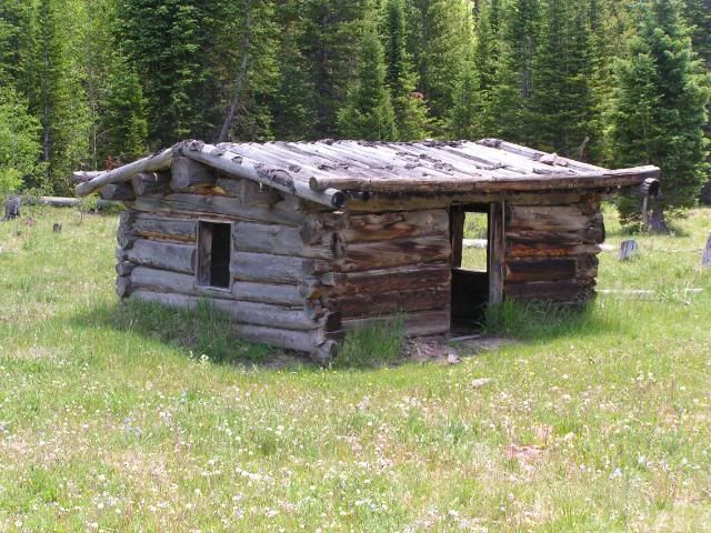
Log cabin at Hack Lake
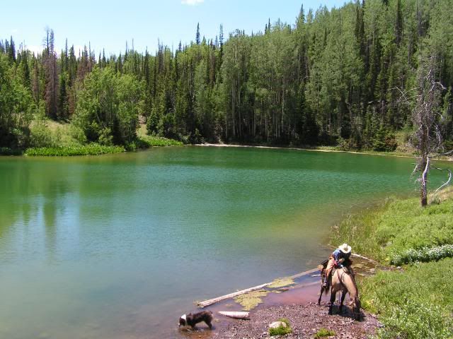
Hack Lake
Going down
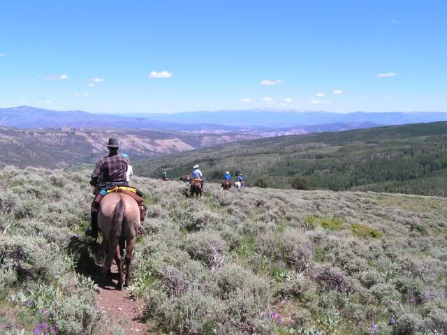
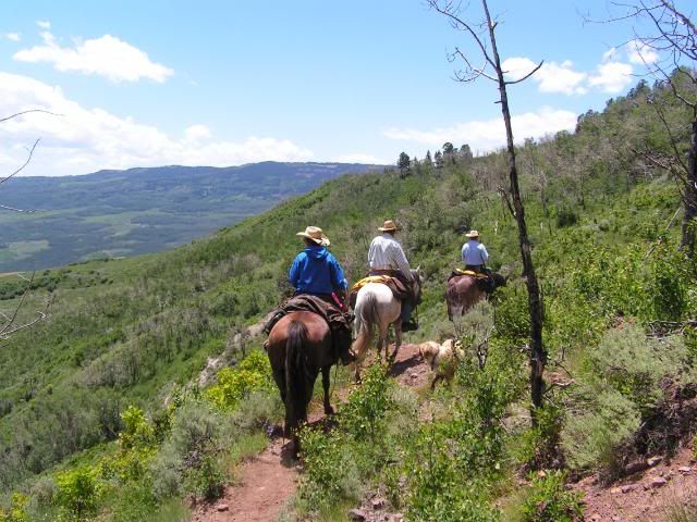
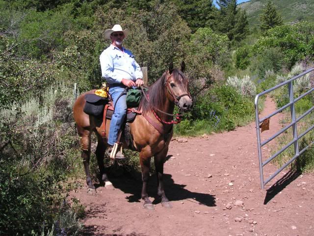
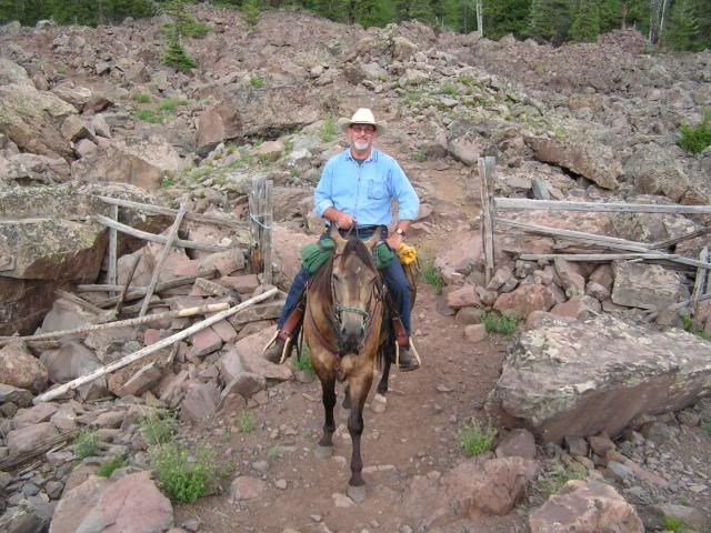
Some of the BLM land is leased to ranchers who run cattle in this area, so there were some gates that we had to go through. We were careful to always shut the gates after we rode through. David and Smokey:
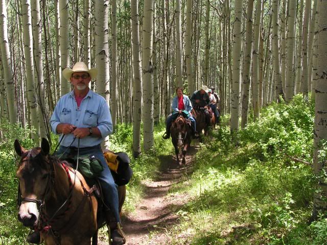
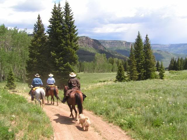
Riding through the aspens
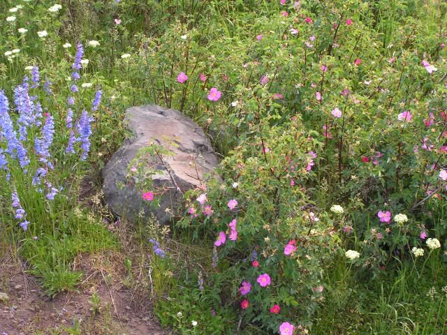
July is a great time for wildflowers in Colorado!
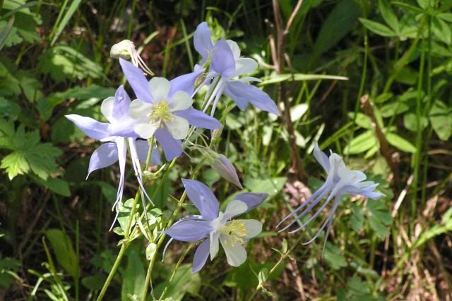
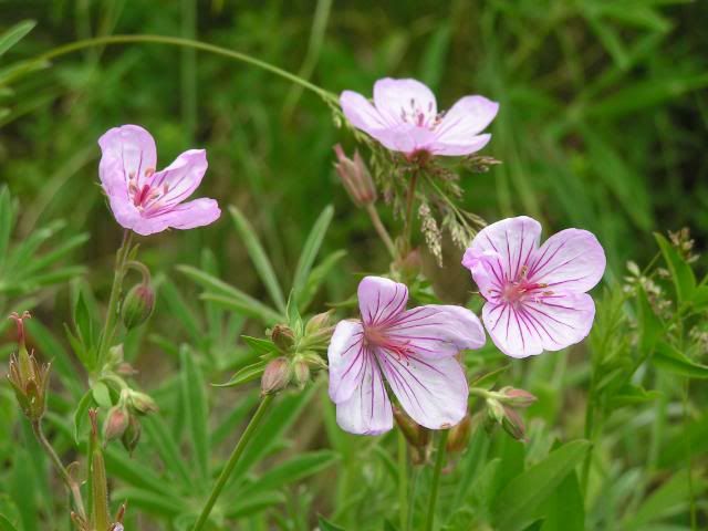
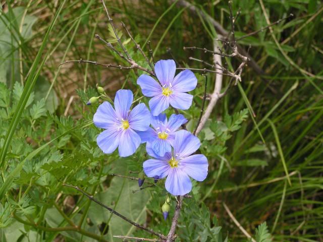
Although we didn't see a bear, we did see signs that they share this part of the country with us. We talked to a couple who are staying in a nearby cabin for the summer. They said they had seen 5 bears in the past couple of weeks.
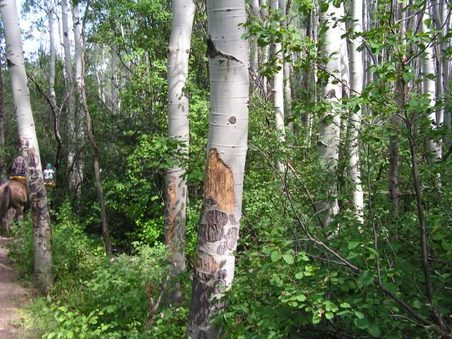
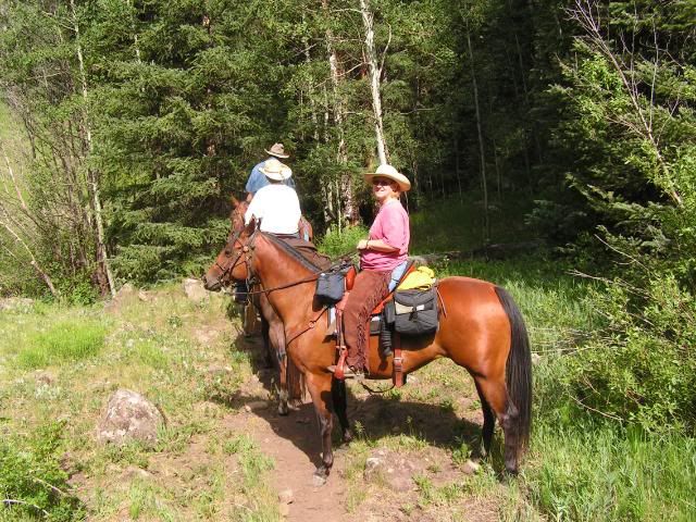
Me and Dash
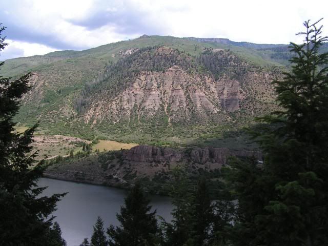
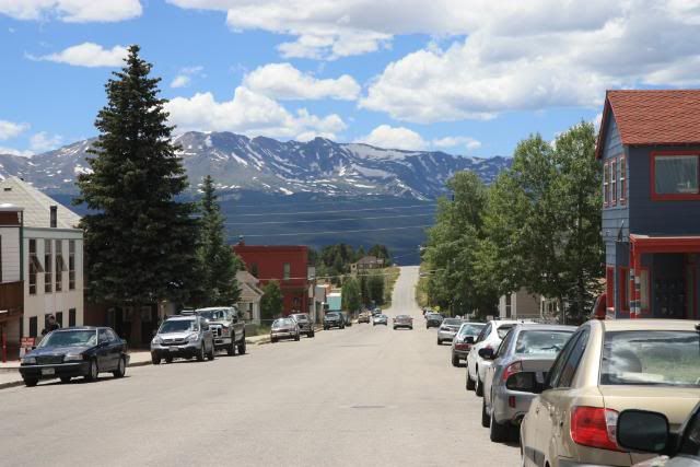
We took a day off from riding one day and drove to Leadville. The horses were ready for a break, and I am sure they enjoyed their day off. Along Hwy 24.
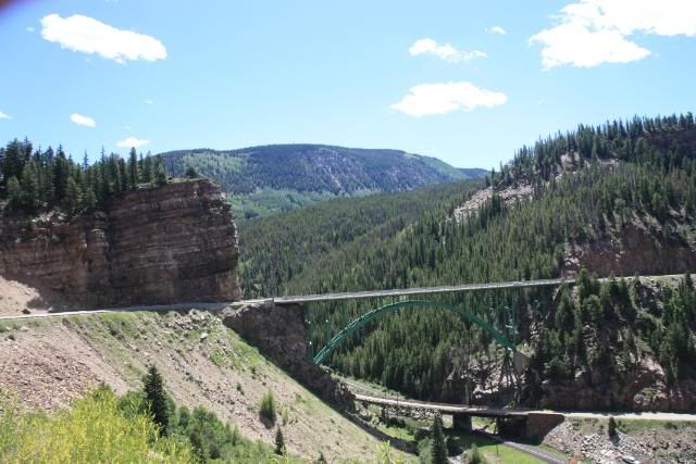
Situated at an elevation of 10,152 feet, Leadville is the highest incorporated city and the second highest incorporated municipality in the United States.
Our next destination was to the Marvine area at the northern edge of the Flat Tops. Camp elevation 8,200 ft.
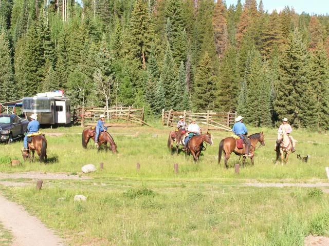
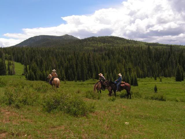
On our first day here, we rode along with Kevin, a ranch hand who was riding out to check cattle that were grazing in this area. He is riding the palomino. This horse, Roy, had only been out on the trails 3 times before today.
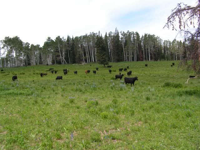
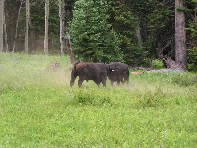
We came upon 2 bulls, who were trying to decide who was boss.
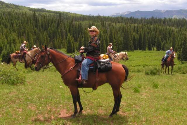
Me and Dash
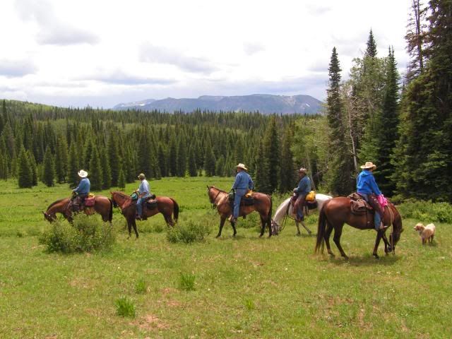
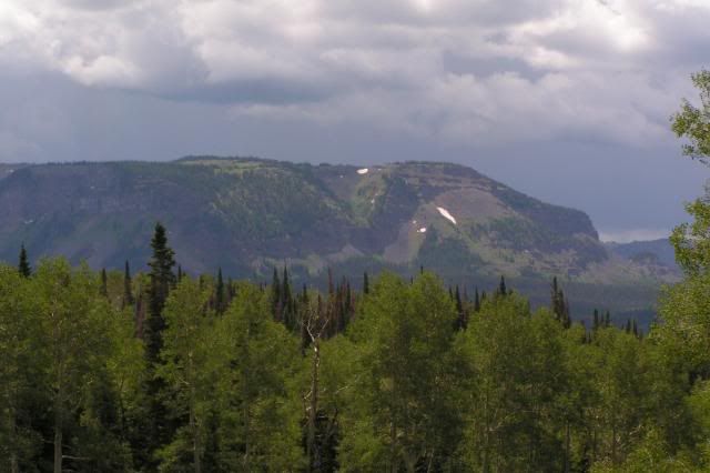
Stormy skies, but we lucked out and these clouds went on around us.
Lunch break
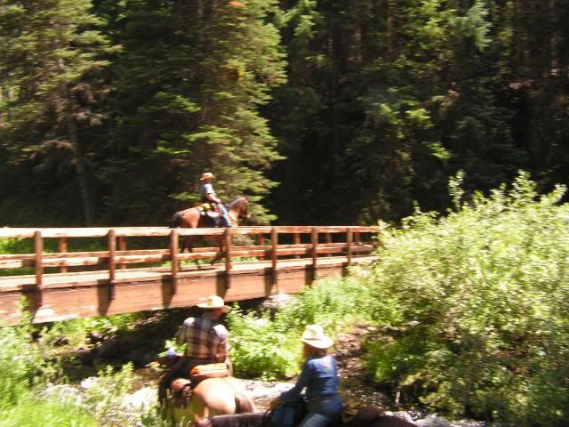
Sorry for the blurr in this picture, but I wanted you to see the bridge that we rode over. That is Dash and I on the bridge.
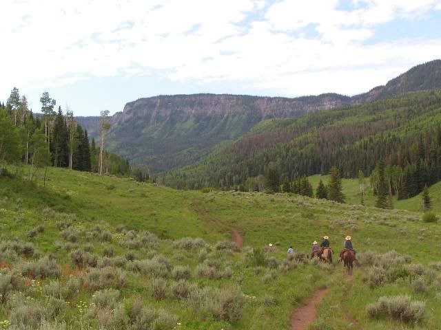
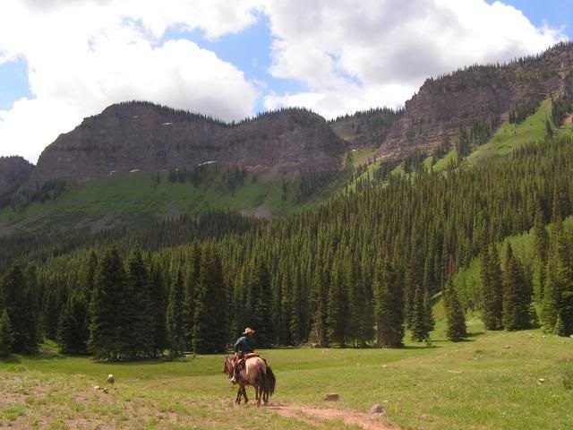
Along the main Marvine Trail. This is a very easy trail that has beautiful scenery all the way to Mavine Lakes.
Slide Lake:
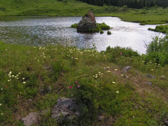
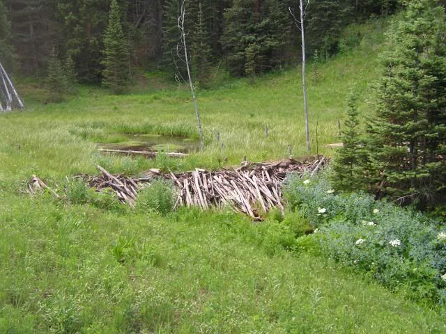
Beaver dam
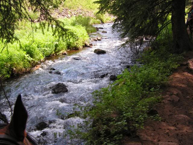
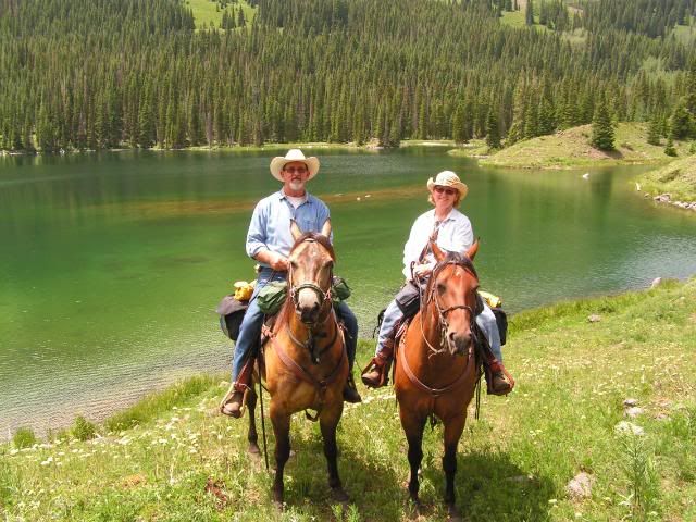
Marvine Lakes, elevation 9,324 ft. There are two lakes next to each other, that cover 135 surface acres.
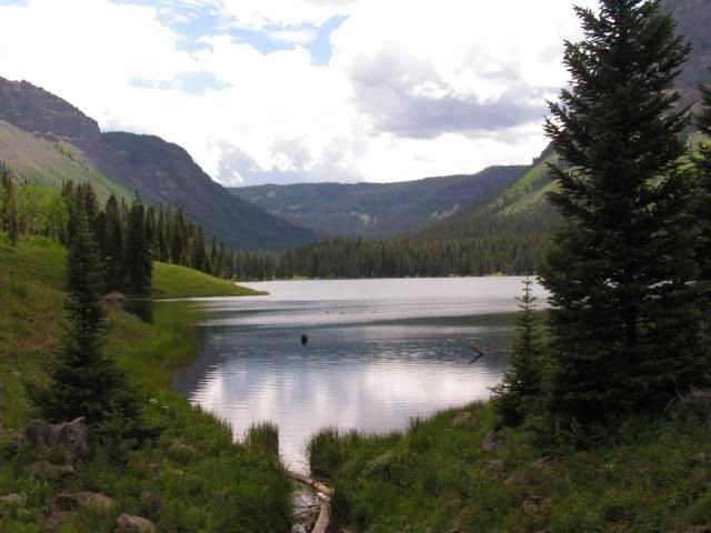
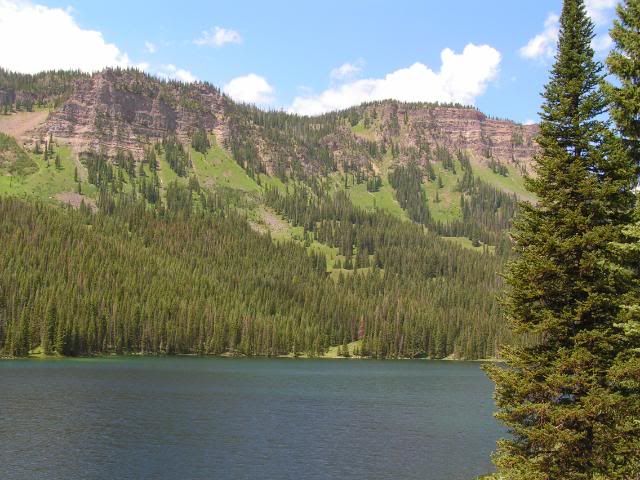
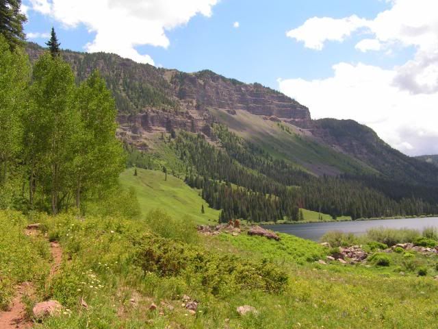
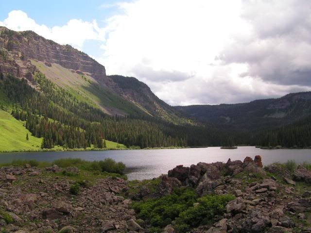
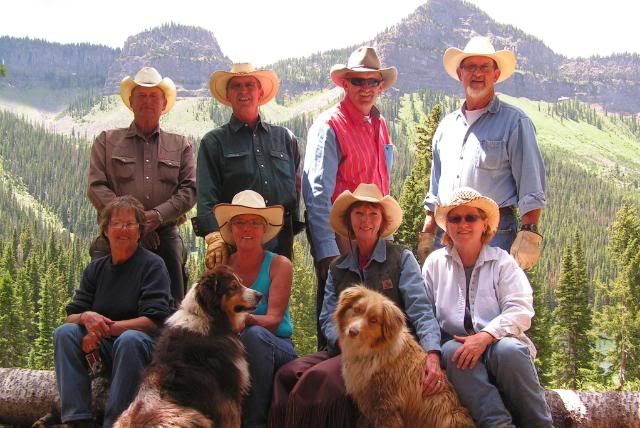
The whole gang
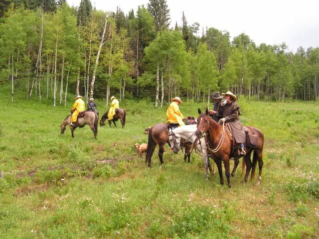
Our luck didn't hold out with these clouds. We had to endure hard rain, wind, and even hail for a short time. Fortunately, we were not on a mountain top, because there was a lot of lightening and thunder in the area, also.
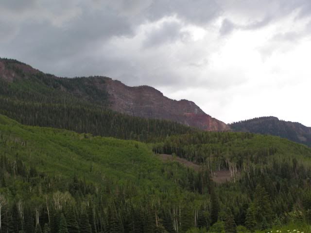
After the storm.
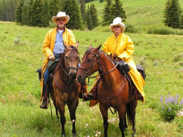
We took another day off from riding during our stay at Marvine. 2 couples drove to Craig and did some shopping. David, I, Dave, and Pris drove over the Flat Tops Trail Scenic Byway and checked out some other possible trail heads for future rides.
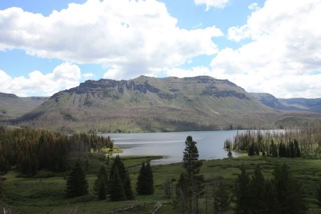
Trappers Lake area had a fire in '02 that burned over 23,000 acres. So sad to see the destruction caused by this natural disaster. The whole mountain in the distance in this picture was burned.
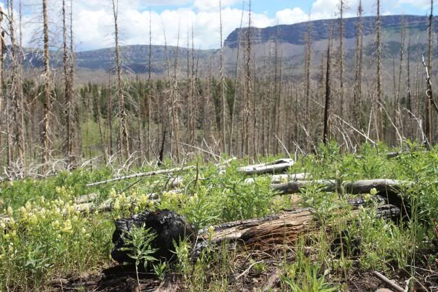
Grass is growing in the areas where the trees were burnt, but I was surprised that I didn't see very many pines growing back. The pines that you do see in this picture, somehow escaped the fire. We were advised to avoid riding in this area, because every time the wind blows, the dead trees that were left standing are now blowing down. This could be very dangerous to a trail rider and is also making it very difficult to keep the trails cleared.
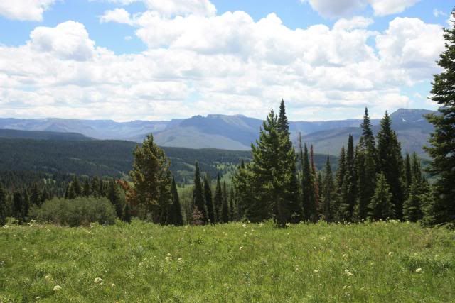
Picture taken from the top of Ripple Creek Pass, elevation 10, 343 ft. There are two trail heads in this area.
Sheriff Reservoir, elevation 9,800 ft.
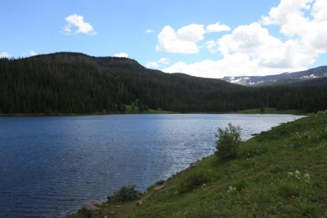
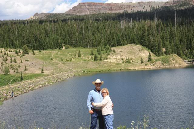
This was Pris's birthday
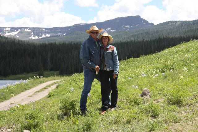
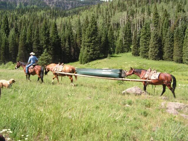
We ended up taking the trail to Marvine Lakes on 2 different days. It was so pretty that we didn't mind doing a repeat. We had this bunch of riders pass us on the trail. These outfitters hauled 2 flat bottom boats over 7 miles to Marvine Lakes. This was the first time that I have ever seen boats hauled this way.
David and Smokey
Dash and I
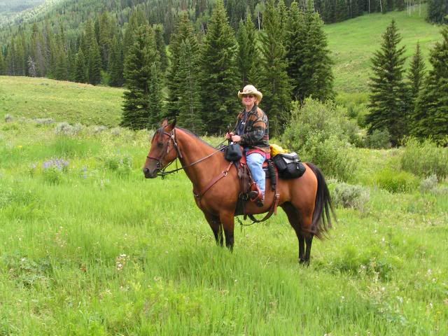
We were going to try to do a 20 mile ride on this day, but once again a storm with hail blew down on us. We ended up turning around at the 9 mile point, so only got in an 18 mile round trip ride.
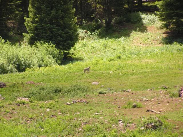
Wildlife:
At first, we thought this was a wolf, but then we decided it was a big coyote.
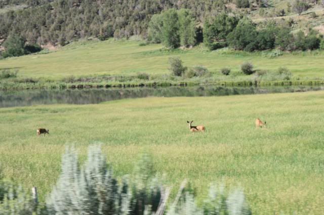
Mule deer
I also saw an eagle sitting near a creek on the road to Meeker, but I wasn't able to get a picture of it.
From what I understand, the FS has brought 40 moose to the Flat Tops during the past 2 yrs. Some other people staying at Marvine Campground were able to see moose during their stay, but we didn't. We were told that a cow and calf were spending time at a marshy pond near camp. We rode by this pond 3 times, but were not able to see them. We were trying to be very quiet, and were hopeful, but no luck. Dang it!
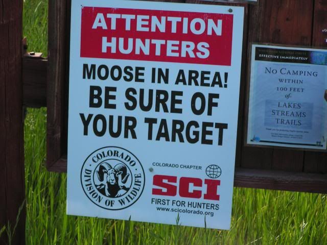
Supposedly, one of the largest elk herds in Colorado is in the Flat Tops, but we didn't see any of them either.
We trail rode 9 days and ended up riding a total of 113 miles during this trail riding trip. Our shortest ride was 7.4 miles and our longest ride was 19.6 miles.